“It’s all about using the experts and that’s the folks at the National Weather Service.”
Kent County Road Commission Deputy Managing Director Jerry Byrne tells us he’s had multiple conversations with meteorologists Wednesday discussing the ice storm’s timing and fluctuating conditions.
“That line of precipitation continues to move somewhat. The line of freezing rain, sleet, or snow. So, that line is continuing to move. So, it’s important for us to look at that, to know that throughout an event and that way we also have crews throughout the county, and we can send text messages, ‘Okay, what are you seeing?’ ‘What does it look like on the southeast corner? The southwest corner or the north?’ So, National Weather Service and then the boot on the ground.”
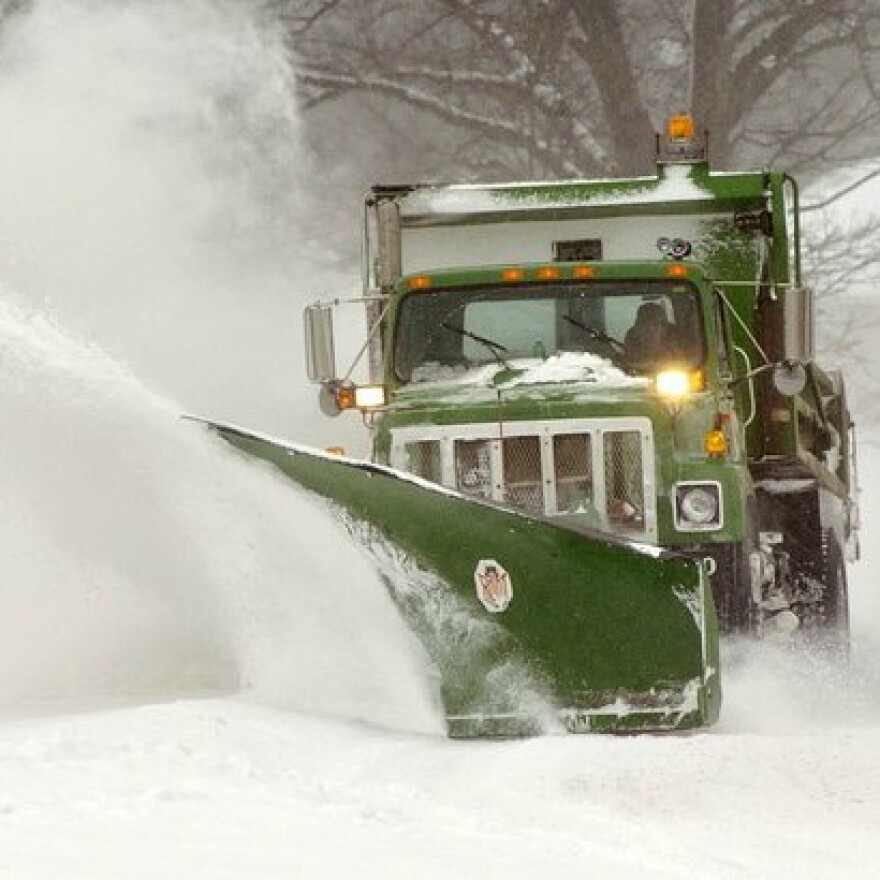
All indications point to increasing rates of a wintry mix during the evening rush hour. Nearly 100 drivers are treating roadways spreading a sand and salt mix preventing the ice from bonding to state trunkline and main county road pavements.

